This is the second part of the write-up for my JMT trip in June 2015.
Road's End to Kings River via Sierra High Route
From Road's End, Sierra High Route followed Copper Creek trail and winded up for 6000 feet. This was a gruesome climb that took me more than 4 hours to finally reach the end of the trail. The high route then went off-trail. I hiked over the Grouse Lake Pass and called it the day.
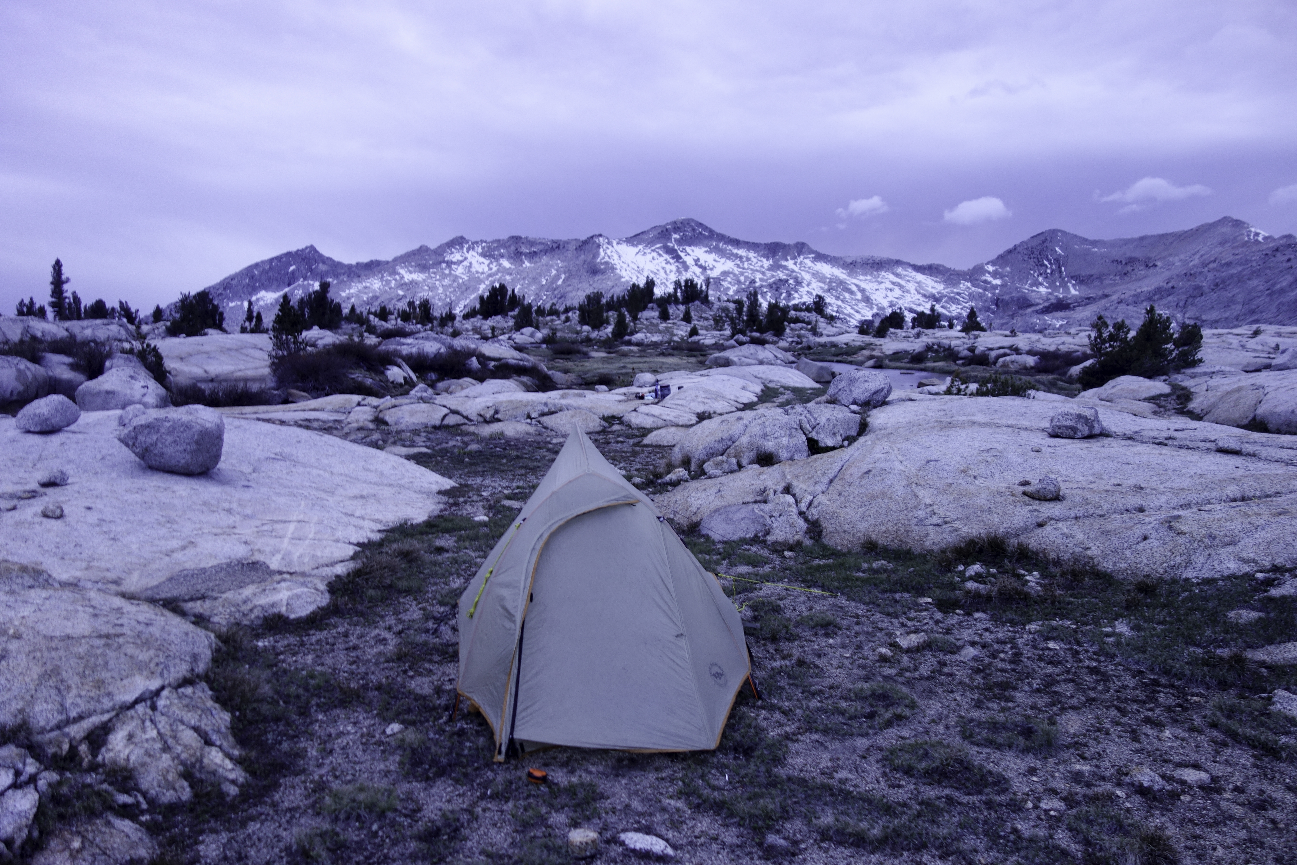
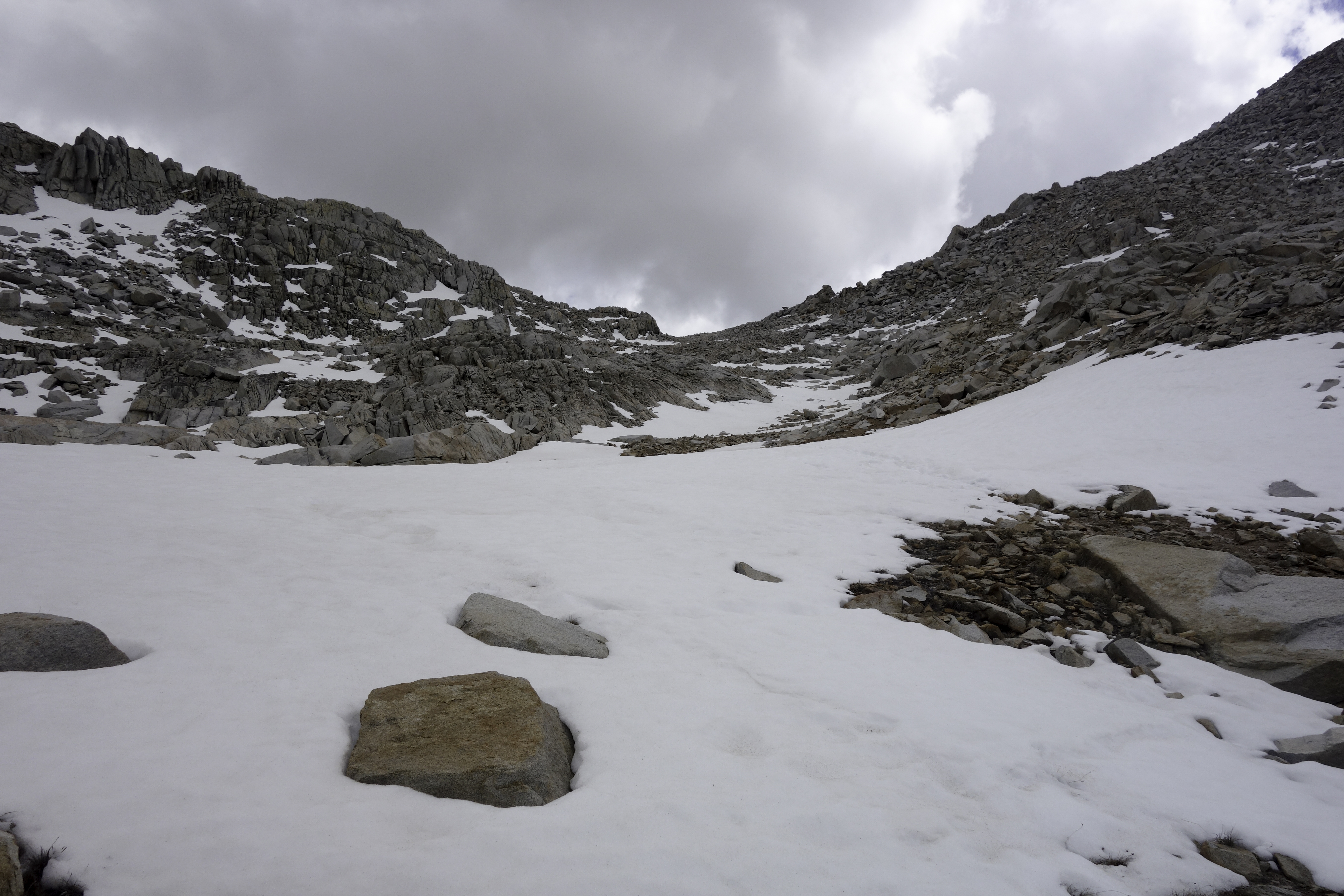
Next day (Jun. 10th) I woke up full of energy, couldn't wait to start the hike. But I soon learned the challenges. While navigation was not so hard, route finding was tricky, especially in early June. North faces of the passes were always covered with snow. Occasionally there were a few ambiguous sets of footprints, but most of time I needed to figure out the descending route myself. As a result, I walked much slower than I expected.
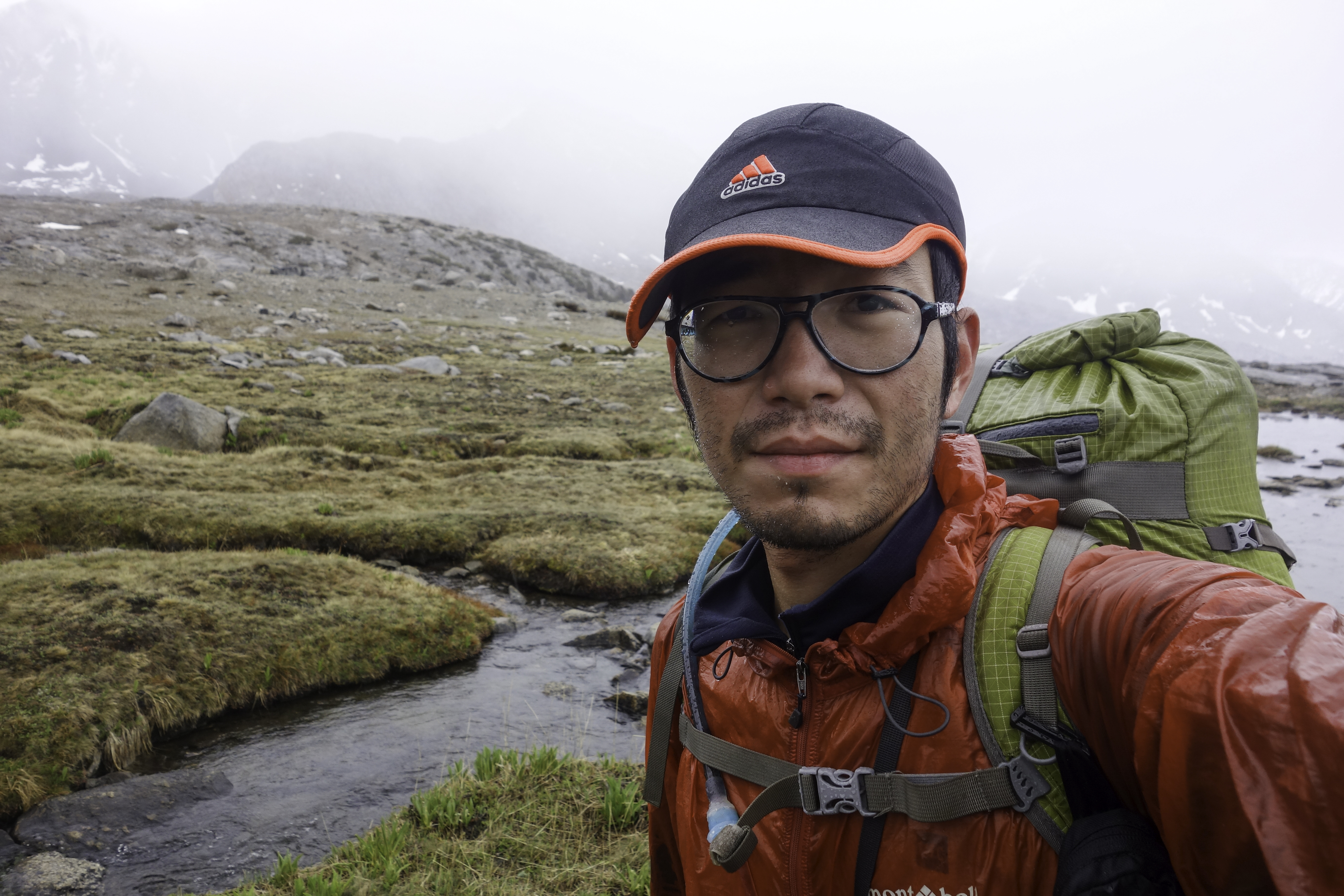
Weather was also less than ideal. There was fog in the afternoon of the second day, so thick that the only way to navigate was by GPS. It was then followed by a chilly shower. After a miserable day, I set up camp at around 6pm before White pass.
The last straw was the mosquitoes. Right after I struggled down the snowy north side of the Red Pass on Jun 11th, I dropped below tree line and reached the Marion Lake. Pretty as it was, this place was infested with hundreds of mosquitoes. Mid-June was right about the time the eggs hatched. Every time I passed by a bush, hundreds of them would rise like smoke and start to chase me desperately.
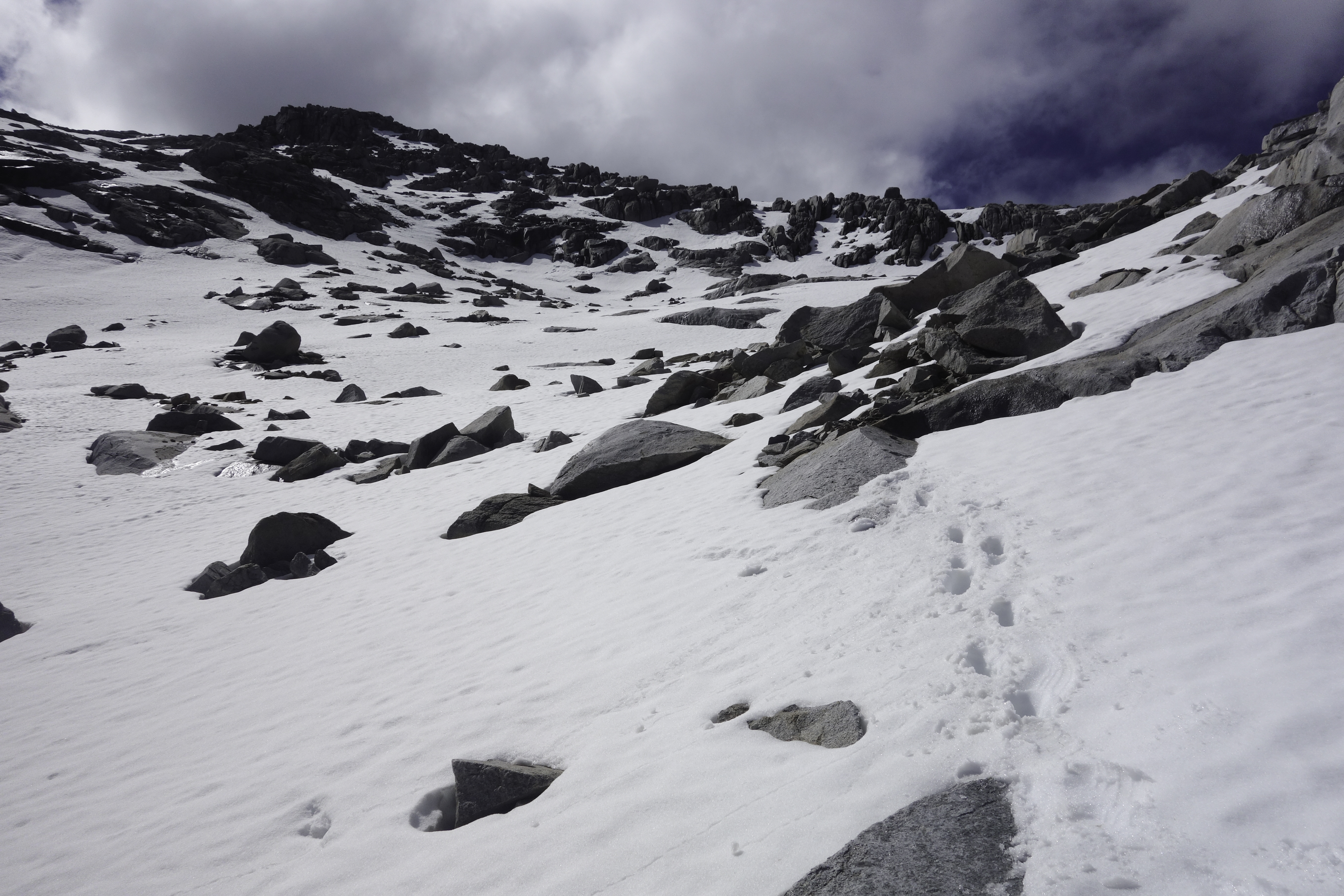
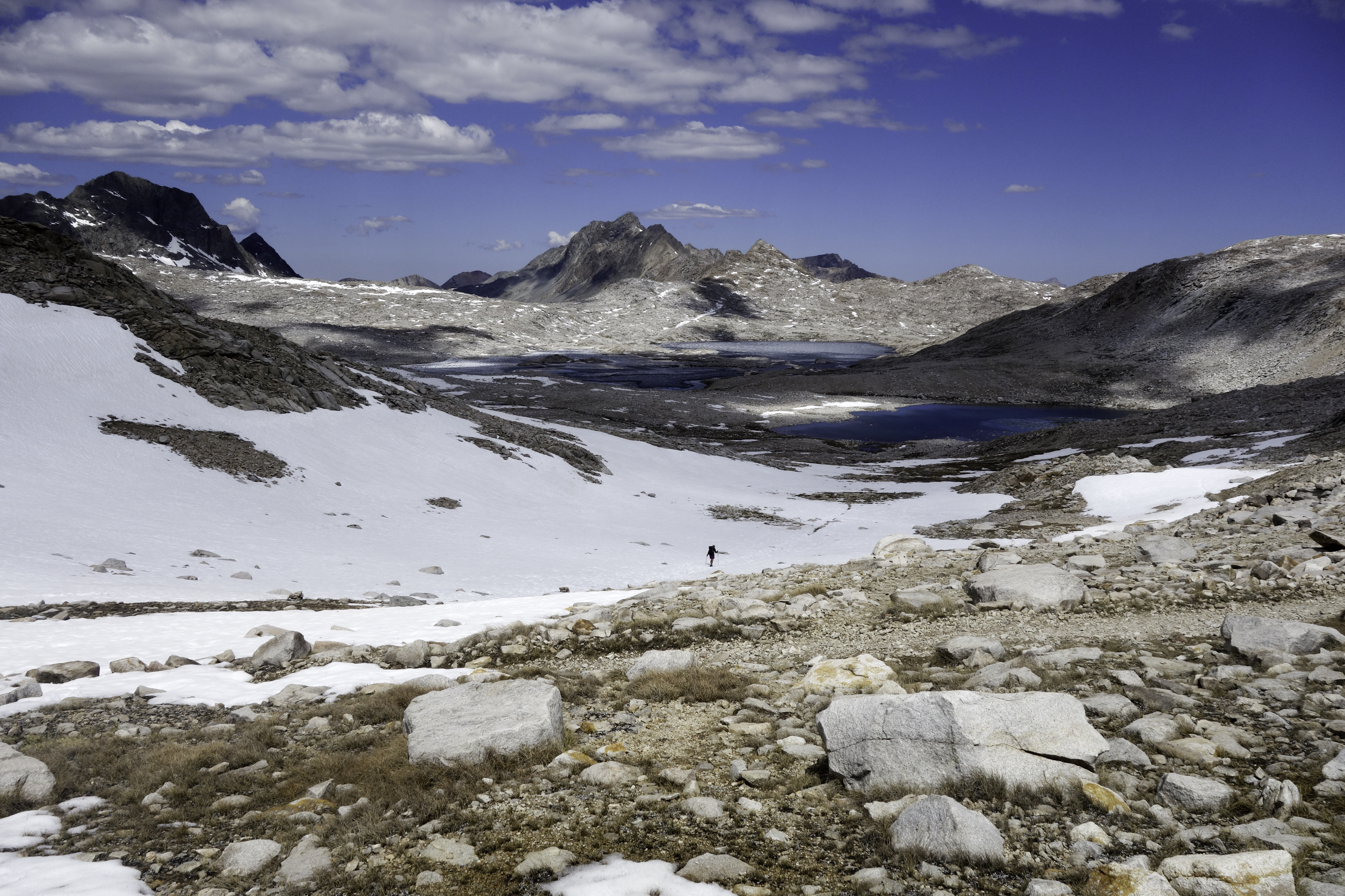
I took out my GPS and started blindly following its route, just so I could get out of there as soon as I can. It was not a wise decision. For some reason, the GPS file I got from OntheTrail.com turned south to connect with the old Muir Trail, instead of heading north to the Frozen Lake Pass. By the time I realized, I was at the bottom of Cartridge Pass. To continue with this route meant a significant detour. The old Muir Trail was not maintained and few people actually hike this route. As a result, instead of a trail, all I saw was a 200 feet cliff covered by snow. To retrace my steps would mean to cross the mosquito zone again. It was also indicated in Roper's book that Frozen Lake Pass was quite difficult. In the end I decided better the devil you know. Cartridge Pass was steep for the first two-thirds of the ascent. I had to hop over boulders to climb up. Combined with some crawling in the snow, I managed to get to the top. Hats off to two other hikers before me. Judging from their footprints they went straight-up from the snow field.
Kings River to Red's Meadow
After Cartridge Pass there was a significant drop in elevation with a steep switchback towards Kings River. Initially the trail was not easy to recognize, but just follow the river and you would eventually reach the trail junction. After the junction, the route rejoined JMT. Having followed the High Route for three days, I decided to bail and hike JMT instead.
I walked faster once I got back on a maintained trail. Short with food, I had to walk 11-12 hours every day. As a result, I got blisters at Le Conte Canyon before Muir Pass, and developed left shin splint near Muir Trail Ranch. Mosquito situation was also getting worse. I had to take fewer rest stops, and taking a leak was a PITA. Moral was quite low at that time. I was contemplating to bail as soon as I reach Red's Meadow. Nonetheless, the scenery was hands-down magnificent. The trail leading to Muir Pass was the best I have ever hiked.
Fortunately weather was getting better as I headed north. There was rain, fog or hail every day I spent in King's Canyon National Park. Once I crossed the boundary to John Muir Wilderness however, I hardly saw a drop of water again.
The last couple of days I had to ration the food. Those calculations were not pleasant. It turned out that I had just enough for me to get to Red's. My last dinner on Jun. 15th was some cereals. Breakfast the next day was a chocolate bar.
Mammoth Lake
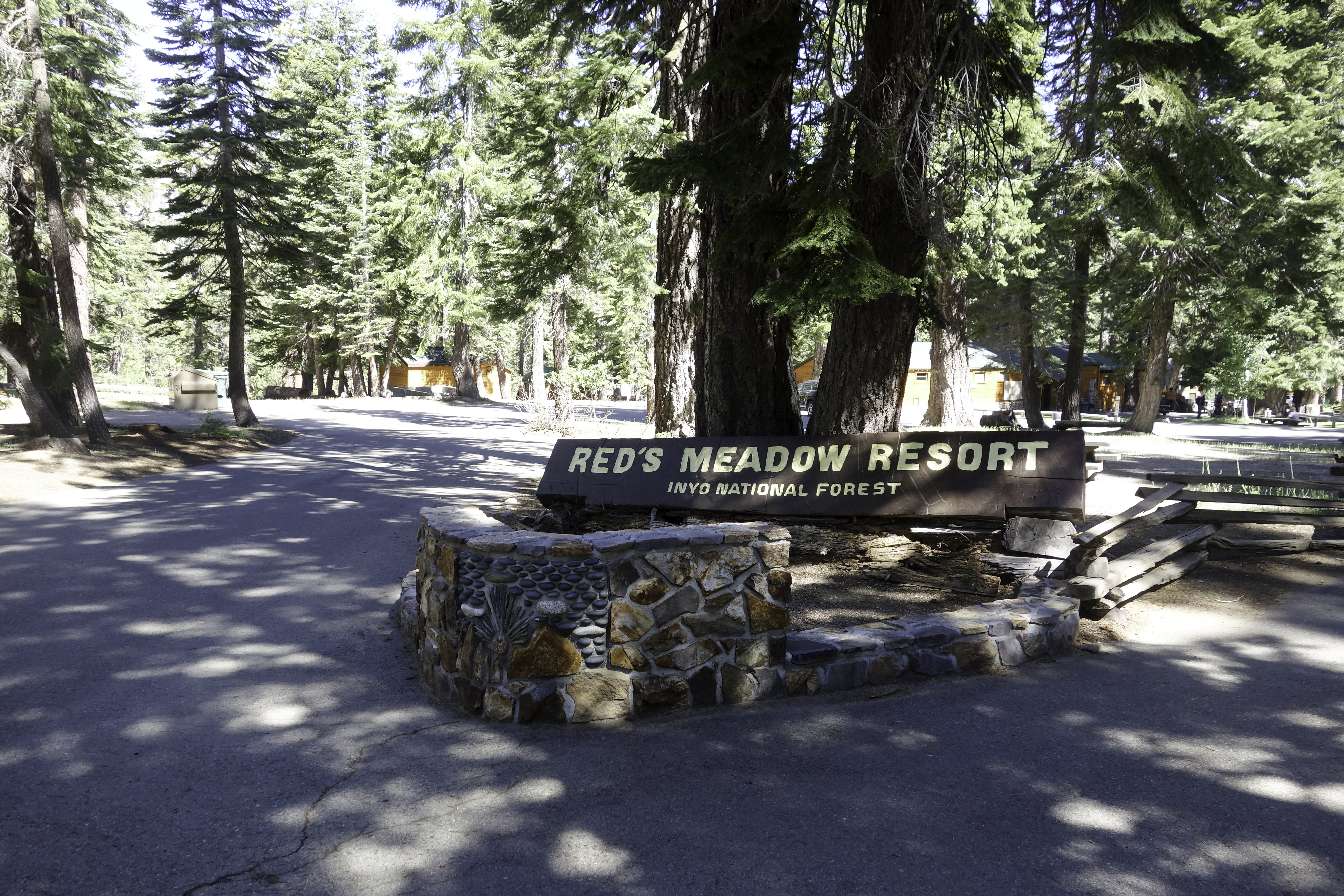
In the morning of Jun. 16th, one week after I took off from Road's End, I arrived at Red's Meadow. From Red's Meadow there's bus service to Mammoth Lake every hour. Mammoth is ski town in winter. In summer the tracks become mountain bike trails. It has all the amenities I could ask for after 10 days in the wilderness. Trip to MacDonald had never been so pleasant. In less than 24 hours, I ingested 5000 calories. Fully refreshed, I tossed the idea of bailing and decided to continue the hike to Yosemite.